
Geopark Rock Route 14 - Morar
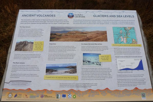
This interpretation board describes how volcanic activity has been responsible for formation of some of the most iconic features on Skye such as the Black Cuillin Mountains and Red Hills of Skye.
Similarly the distinctive topography of Askival on Rum and the plateau on Eigg have volcanic origins.
The board also describes other features seen from the viewpoint, including the rocks of Beinn an Acaidh Mhòr; formed of ancient Moine schists, and a flat floored basin in front of the board.
The board also explores the effect of glacial events in the locality, and charts how sea levels changed since the last glaciation.
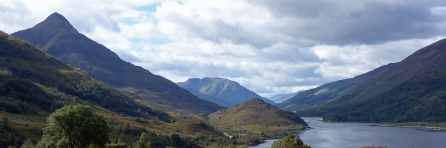
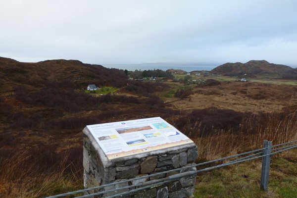
The board is located in the layby (northbound) at Glenancross on the A830.
An excellent, well sited, interpretation board on the geology of region.


