


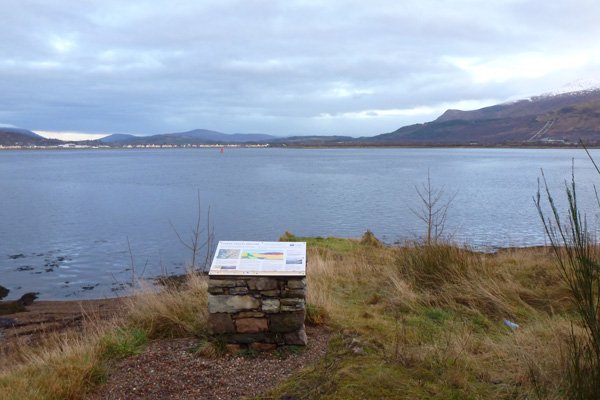
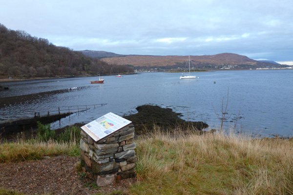
Geopark Rock Route 7 - Camusnagaul
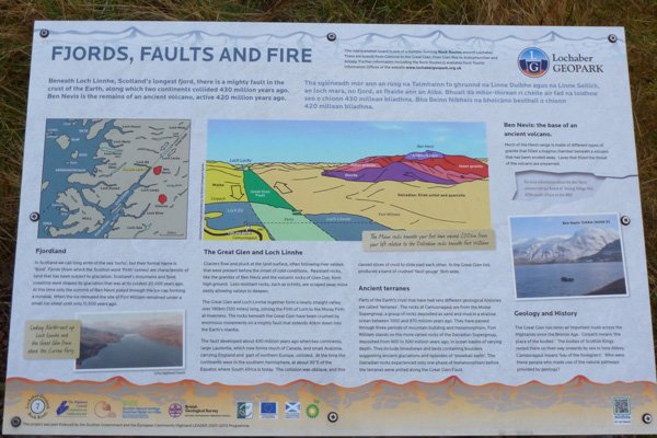
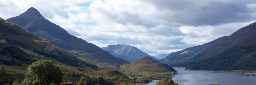
A fascinating board describing the impact of the Great Glen Fault on the geology and topography of Lochaber. The Great Glen Fault, aligned north-east to southwest, separates rocks of the Moine Supergroup on the west (Northern Highland terrane) from rocks of the Dalradian Supergroup in the east (Grampian terrane).
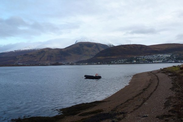
The board focuses on the effect of glaciations on the landscape, leading to formation of fjords along the fault line and the characteristic glaciations topography, responsive to the underlying geology.
The board describes the origin and geological history of the different terranes, focussing on the rocks at Camusnagaul (Moine Supergroup) and those associated with Fort William (Dalradian Supergroup). Their different geology and history of each uniquely contributing to the topography of Lochaber. The historic importance of Corpach and Camusnagaul is also speculated on.
The board is located by the small ferry terminal at Camusnagaul.


