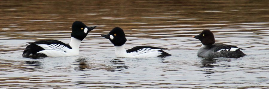
Castle Tioram Viewpoint
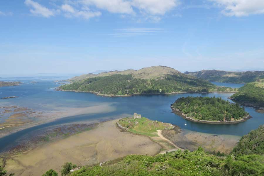
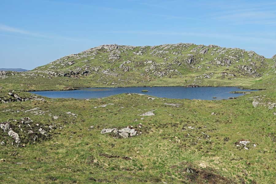
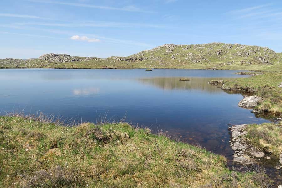
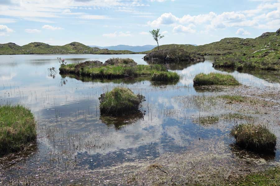
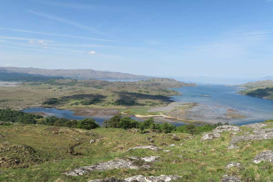
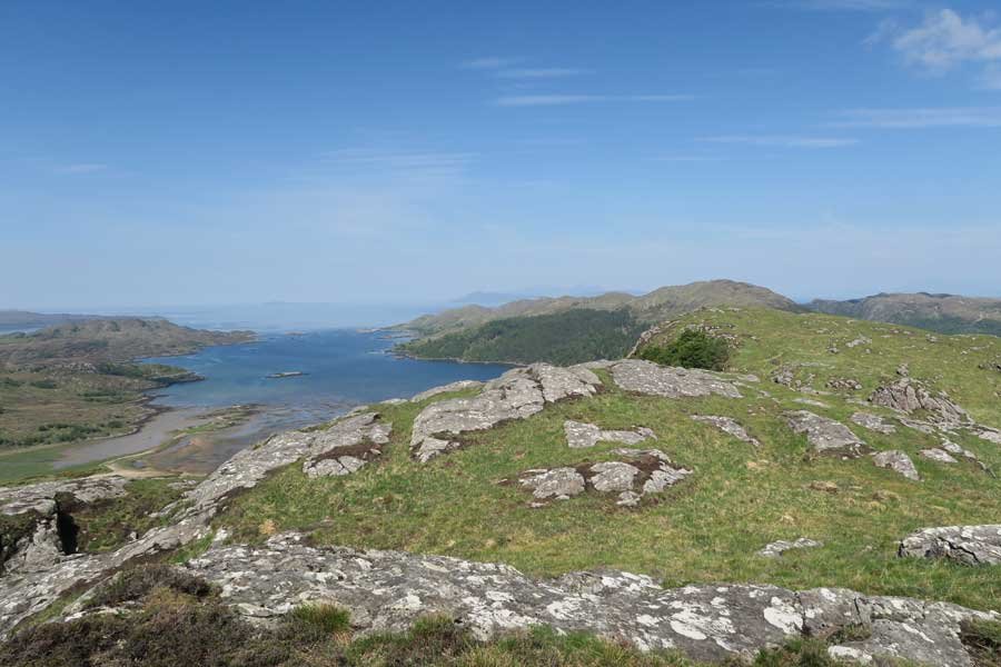
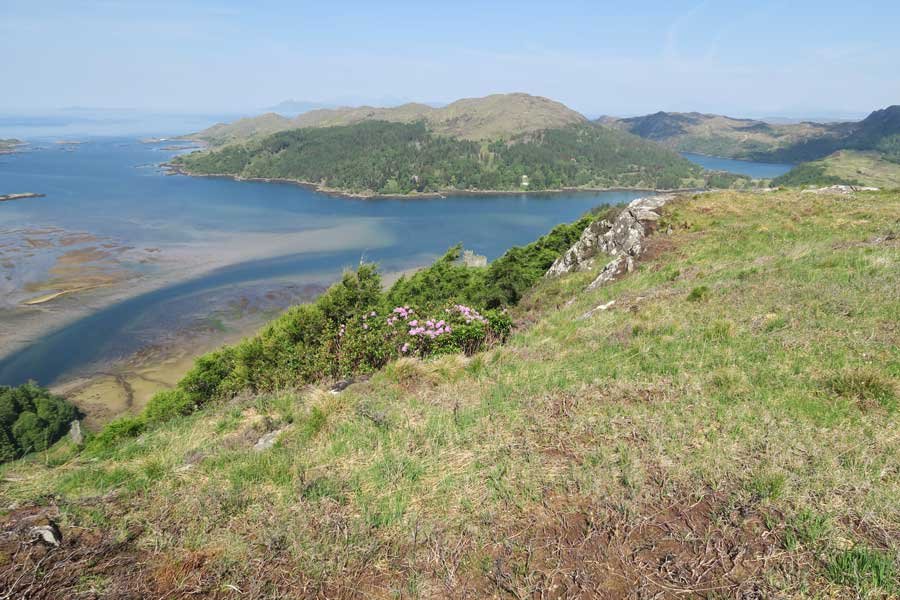
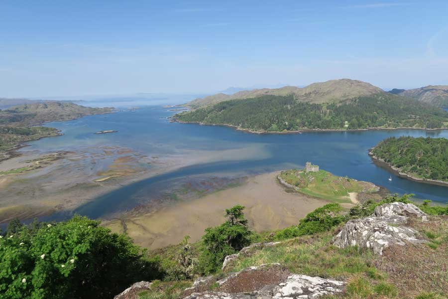
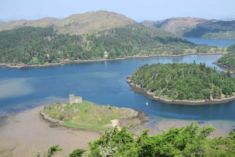
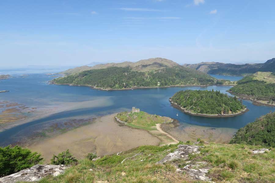
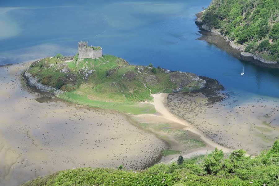
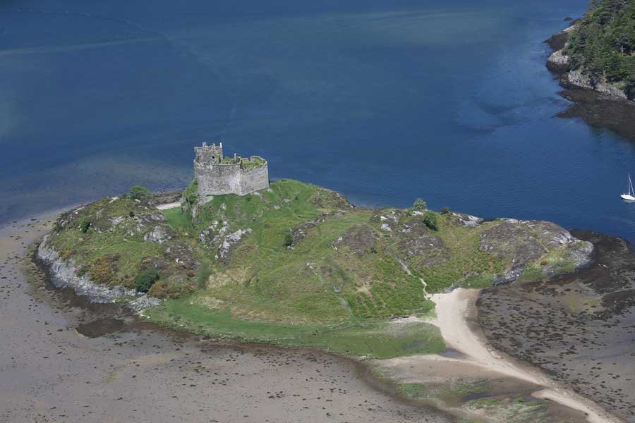
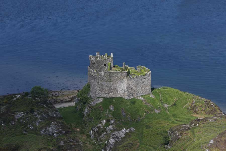
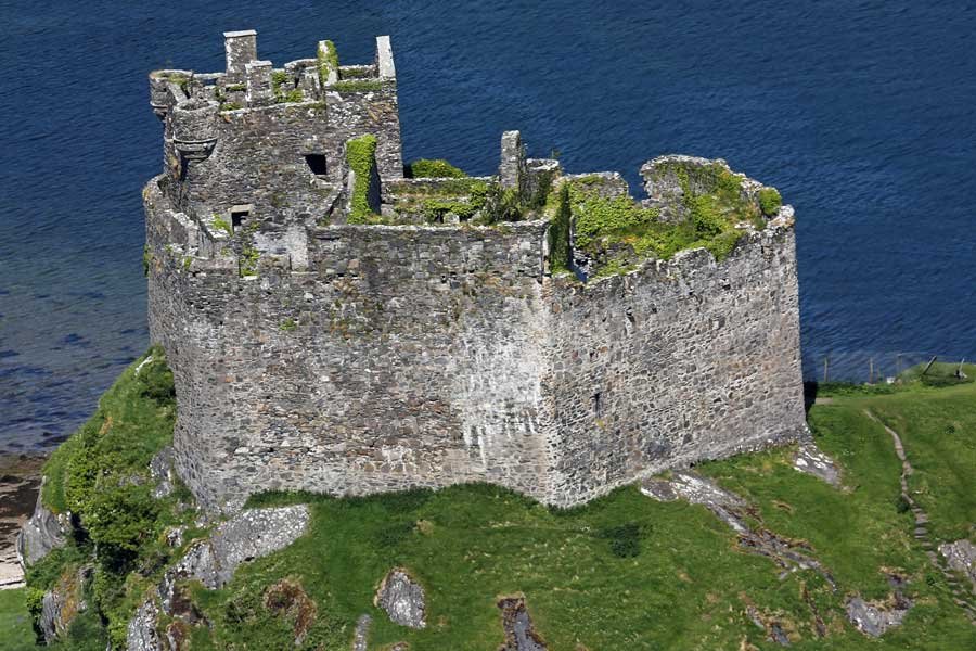
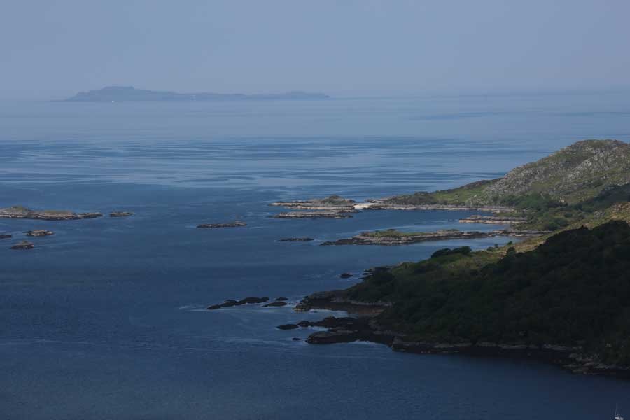
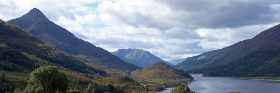
This amazing viewpoint overlooking Castle Tioram and Loch Moidart is just a short diversion from the Blain Burn or Castle Tioram Circular walks and well worth the effort for some amazing views and photographic opportunites. There are several routes up to the viewpoint, though we find this one relatively accessible most of the year. It is best done after a period of dry weather and you should be aware that you are walking over some potentially very boggy ground. Most of the boggy areas can, however be avoided by diverting a little from the route and keeping to the higher ground. There are no paths, though naviagation is relatively straightforward using the lochan and Cruach nam Meann as landmarks.
Route Details
- The walk is an add-on to either The Blain Burn walk of Castle Tioram Circular walk.
- Head off the well trodden Castle Tioram Circular walk at NM675713, and head westwards over the wee hill until you see the lochan.
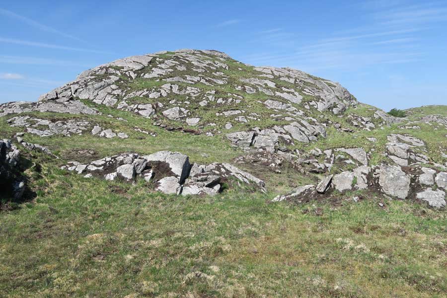
- Keep to the north of the lochan and head towards the summit of Cruach nam Meann
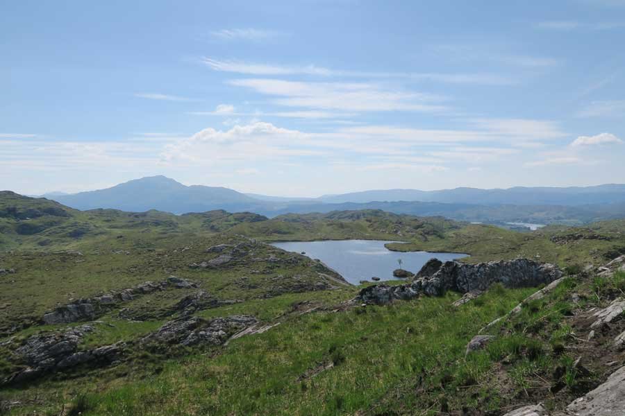
- From Cruach nam Meann follow the ridge line north to the viewpoint overlooking Castle Tioram, Loch Moidart and Beyond
- Take time to enjoy the views and return by the same route.
The Castle Tioram Walk is shown in green on our route plans, The Blain Burn walk in blue and The Castle Tioram Viewpoint add-on in red.
starting grid ref
Links to useful Information
terrain
length
Safety
Route details and information are provided in good faith. All walking is potentially dangerous and it is your responsibility to ensure that you are properly dressed and equipped, have a map and compass, have checked and planned your route in advance and are able to navigate effectively. Maps displayed on these walking pages are intended as an overview of the walk and are NOT suitable for navigation. Please follow the Scottish Outdoor Access Code and respect landowners and residents' privacy. Always check the weather forecast and let others know if you are walking in the hills.


