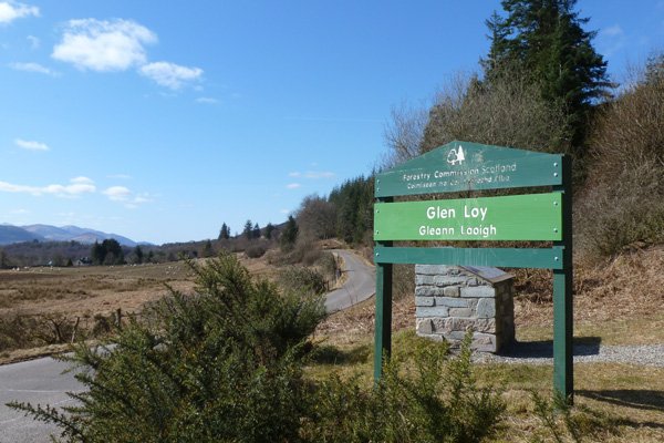
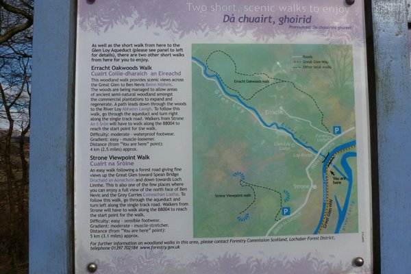
Glenloy Forest and Strone Viewpoint

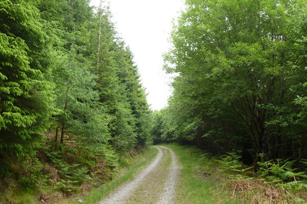
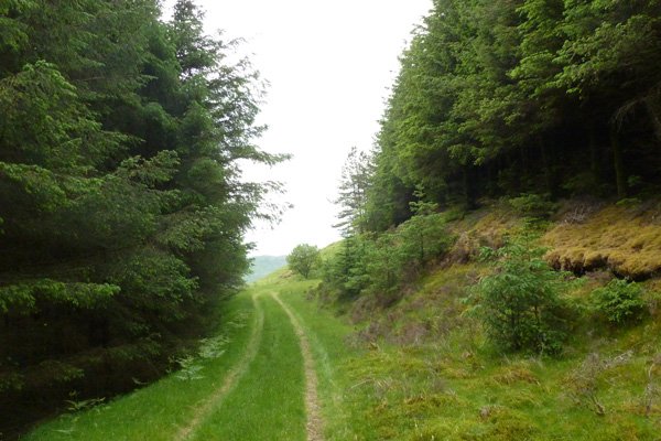
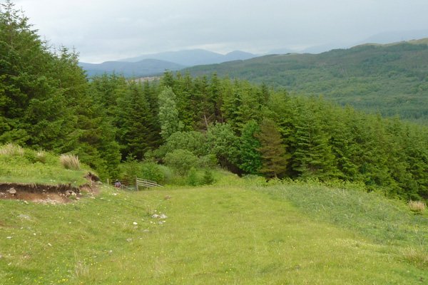
The track ascends through coniferous plantation (mainly firs and spruces) with some sections of mixed woodland consisting of willow, hazel, birch, cherry, beech, sycamore, whitebeam and rowan. The grassy verges support creeping and field buttercup (Ranunculus acris and R. repens), birds foot trefoil (Lotus corniculatus), bugle (Ajuga reptans), wood forget-me-knot (Myosotis sylvatica), wood sorrel (Oxalis acetosella), heath bedstraw (Galium saxatile ), pignut (Conopodium majus), greater stitchwort (Stellaria holostea) and herb robert (Geranium robertianum), to mention but a few. Denser sections of plantation support a rich bryophyte field layer, including Common Tamarisk-moss (Thuidium tamariscinum) and Sphagnum, Hypnum and Polytrichum species interspersed with the odd hard fern and bilberry. The walk ends in open grassland/heath.
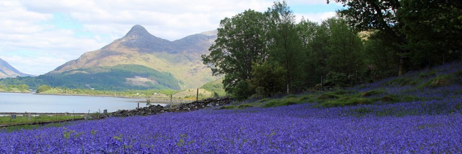
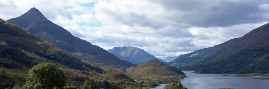
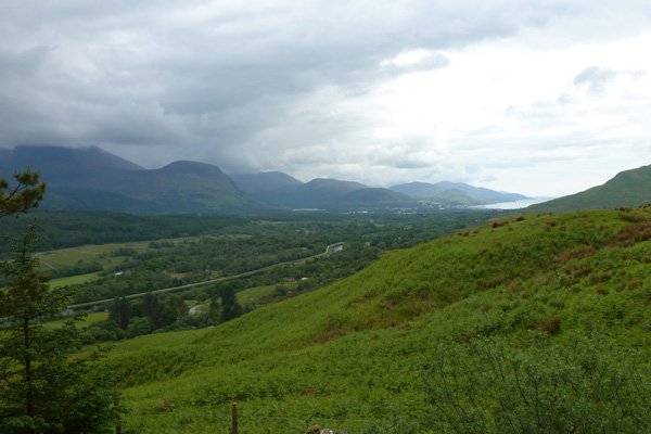
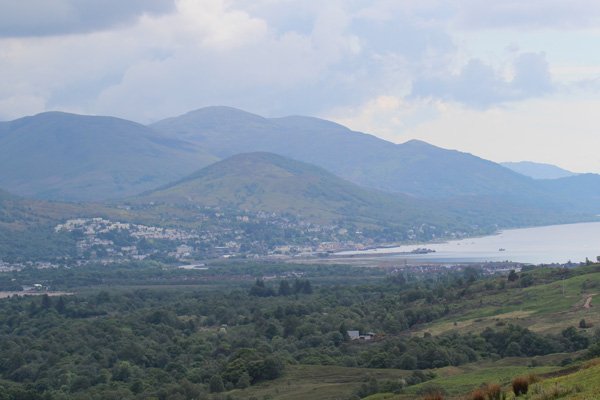
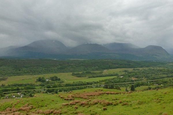
At the end of the walk, there are some lovely views of the Ben Nevis Range, the Caledonian Canal, River Lochy, Loch Linnhe and Fort William.
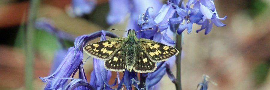
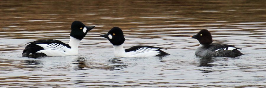
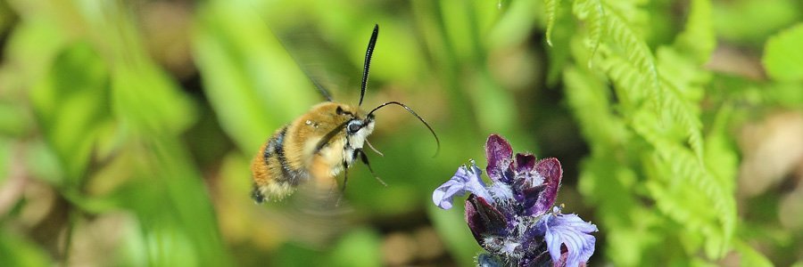
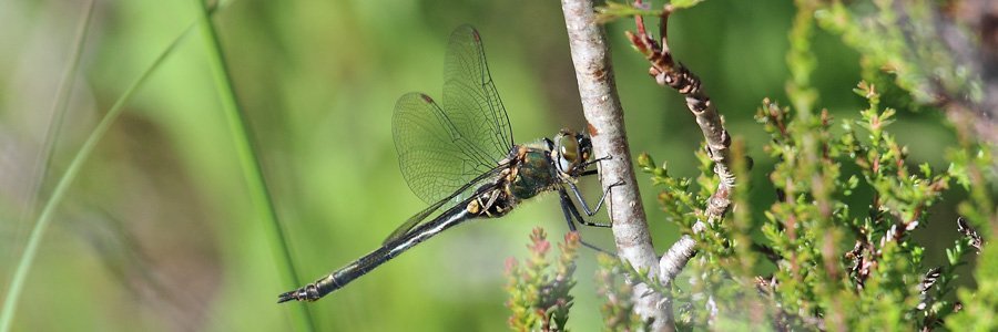
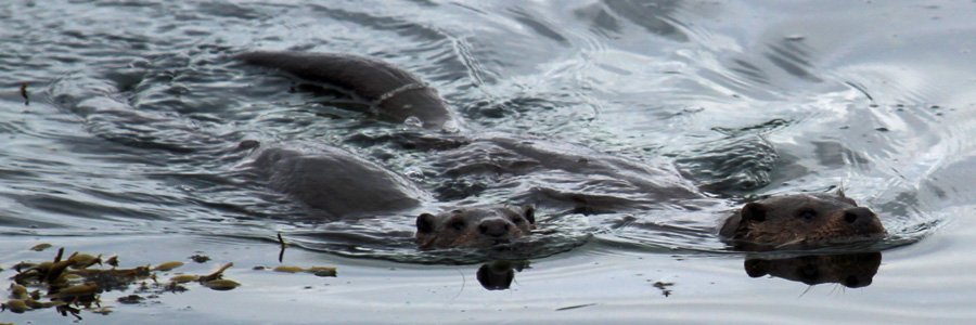
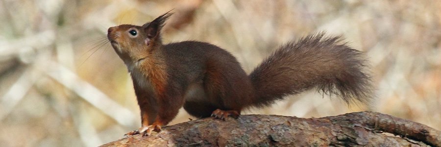
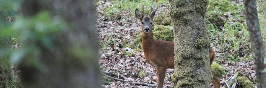
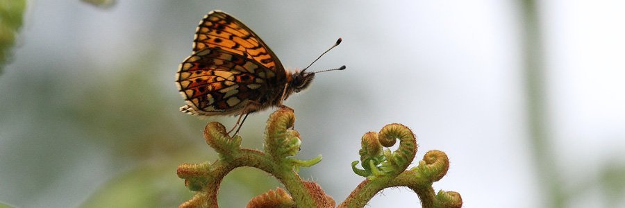
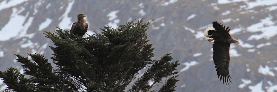
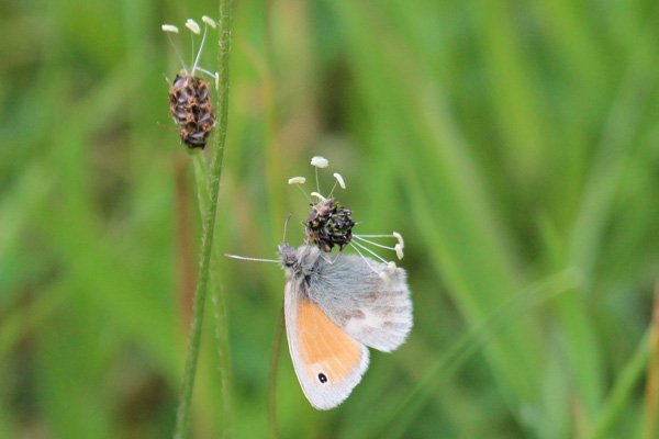
Look out for tracks and signs of pine marten in the forest and grassland, and a range of butterflies along the rides and grassland. Listern out for conifer avian speciaists such as coal tits and siskins. Scan the ridgelines for raptors.
Route Details
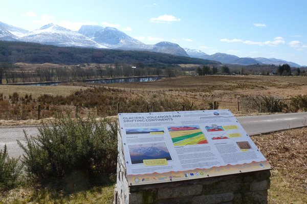
- Park in the Forestry Commission Glen Loy car park. There is an interesting interpretation board by the entrance produced by Lochaber Geopark. Pass through a metal gate to ascend a track with mixed deciduous woodland on the left and conifers on the right, and then with coniferous plantation on both sides. On route, the track passes by two former viewpoints, whose views are now obscured by conifers.
- Take the track on the left through an initially section of denser plantation with a rich bryophyte ground flora to a third viewpoint. The track eventually opens up to afford stunning views of the Caledonian Canal and the northern face of the Ben Nevis Range with Loch Linnhe and Fort William in the distance.
- Continue along the grassy path passing through a deer gate to more open grassland with bracken encroachment for the best views.
- Return by the same route.
starting grid ref
Links to useful Information
terrain
length
Safety
Route details and information are provided in good faith. All walking is potentially dangerous and it is your responsibility to ensure that you are properly dressed and equipped, have a map and compass, have checked and planned your route in advance and are able to navigate effectively. Maps displayed on these walking pages are intended as an overview of the walk and are NOT suitable for navigation. Please follow the Scottish Outdoor Access Code and respect landowners and residents' privacy. Always check the weather forecast and let others know if you are walking in the hills.


